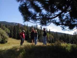
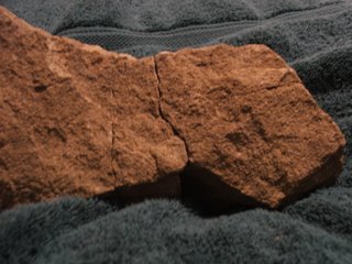
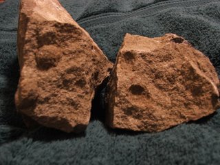
Yesterday we went on a guided tour of Thurston County history and geology. So much fun, so interesting!
Little Rock is literally named for a "little rock" that sits even today in the front yard of the Rutledge family home. It was placed there so folks could mount their horses and get into carriages. Little Rock!
We learned that the coal seams in south Thurston County were at the edge of the sea when they were peat bogs long ago in geologic time.
We saw the mountains of coal piled high at the Transalta steam plant near Centralia. This is near the site of a town called Tono, which is no longer in existence. The name Tono comes from a Railroad conductor who would write "tons of coal" on the manifest on arriving at the town. This abbreviated somehow to "Tono."
Bucoda was the site of the Washington territorial prison. We learned of how the prisoners were abused and the guards were drunk. When this prison was discontinued, the prisoners were transferred to Walla Walla state prison.
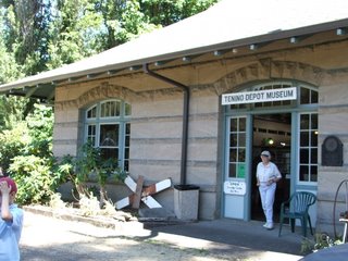
The Tenino Museum is made of Tenino sandstone. The origin of the sandstone are sand dunes. You can see the fine upswept patterns in the stone blocks that are indicative of windblown deposits.
We heard about a speculation that Tenino was named after a train (10-9-0), a thought disabused by our esteemed local historian and guide Roger Easton. Mr. Easton said that tenino was a native word meaning junction or meeting place, and that Tenino was on the Cowlitz Trail.
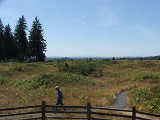
We saw the Mima Mounds and heard the various stories of what caused them. My favorite is Mr. Easton's theory that the mounds formed in permafrost. The landscape formed giant mudcrack patterns, and after melting and draining, the landscape was left with the mounds. Hopefully, I got this right, but don't quote me. I don't exactly have great notes on this, so I am hoping Mr. Easton will write a paper.
The most interesting geological information I learned was that the basalt at Deschutes Park in Tumwater is the Crescent Formation, and that this is the same formation as the basalt crest of the Olympic Mountains. These basalts were extruded on the ocean floor, and now are all the way in Tumwater and the Olympic Mountains! Makes you think!
Sometime I'll get a photo of the great vertical mountainside near Crescent Lake, up on the north side of the Olympics. Spectacular. Even more interesting are the lake side sedimentary deposits. As you stand on the shore of Lake Crescent, look at the stripey looking ground. These are sedimentary deposits that have been turned up 90 degrees! Now how'd that happen!
Explanation: Lake deposits slowly fall down through the lake and make layers that are darker in the sunnier warmer half of the year, when there are more organics around, and lighter in the colder grayer half of the year, when there are less organics. The result are striped beds, if you could see them sideways. When you can see these stripes across the top of the land surface, it means the beds must have been moved by earth forces to tilt up the sides of the beds. Unimagineably great forces at work over unimagineably long periods of time. We are on a moving earth conveyor belt.
-Auriel Ragmon


